Picture this: you idle out of a quiet canal, point the bow east, and in about half an hour you’re floating over a clear reef. Or you turn north and, in minutes, you’re tucked behind a mangrove island with glassy water and birds overhead. If you live or boat from Cudjoe Key, that can be your normal weekend. In this guide, you’ll get the practical, day-to-day details that make it work, from launch points and run-time ranges to rules and planning tools. Let’s dive in.
Where to launch on Cudjoe Key
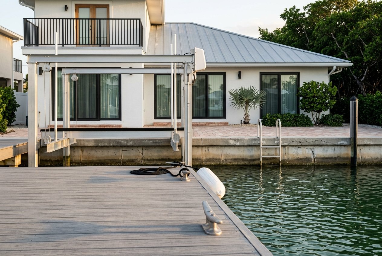
Cudjoe Gardens Marina is the go-to launch and service hub for the island. Located at 477 Drost Dr, it offers a deep ramp, fuel, restrooms, and dockage. The marina notes limited trailer parking and fees, so plan ahead and consider how you will stage your vehicle and trailer if you are not storing the boat at home or in a slip. For many residents, this is the realistic everyday base for fueling, launching, and quick supply runs. Learn more about current services and ramp details at the Cudjoe Gardens Marina listing.
Blimp Road public ramp update
Monroe County announced the Blimp Road bayside ramp would be closed beginning February 5, 2026 for about four months for staging and environmental mitigation related to airport taxiway work. The county expects the ramp to reopen before lobster mini-season, but this temporary closure affects local launch capacity and parking for trailer boats. Always confirm the latest status through the county’s Blimp Road ramp notice before making plans.
Quick runs and classic day trips
You can reach a lot from Cudjoe Key, and much of it fits into a half-day. The times below are straight-line estimates from Cudjoe Gardens and will vary with boat speed, sea state, and the marked channel you choose.
- Looe Key reef: about 9.1 nautical miles. At 20–30 knots, expect roughly 18–30 minutes underway one way. Looe Key is a protected reef within the sanctuary with mooring buoys; review site details for responsible anchoring practices at the Looe Key reef page.
- Key West: about 24–25 nautical miles. At 25–30 knots, plan on roughly 50–75 minutes one way. Inside-channel routes or running Hawk Channel will change comfort and time.
- Marquesas Keys: about 42 nautical miles. A typical small-boat run can take 1.5–2.5 hours one way. Much of this area falls within the Key West National Wildlife Refuge, so check access and landing rules with the Great White Heron and Key West refuges information.
Short backcountry hops into Kemp Channel, Upper Sugarloaf Sound, and nearby flats are minutes to tens of minutes from home. These waters are shallow and tide dependent. Plan around tide windows, and talk with local operators or the ramp staff about current channel markers, shoals, and safe water.
What changes your run time
- Route choice: inside channels add turns and slow zones, while Hawk Channel can be faster but more exposed.
- Wind and swell: ocean side often feels rougher than the bayside flats and mangrove lee.
- Currents: channel set inside the Keys and offshore flow can help or hurt progress.
- Vessel type and speed: a 25-knot center console will travel much faster than a 12–16 knot cruiser.
Choose your water today
Reef and Hawk Channel
The ocean side is deeper, clearer, and more exposed to wind and swell. It is where you will find patch reefs and the famous reef tract, including Looe Key. Expect more current and wave energy than the bayside. Use mooring buoys where available rather than anchoring on coral, and give yourself a comfortable weather window.
Backcountry and refuges
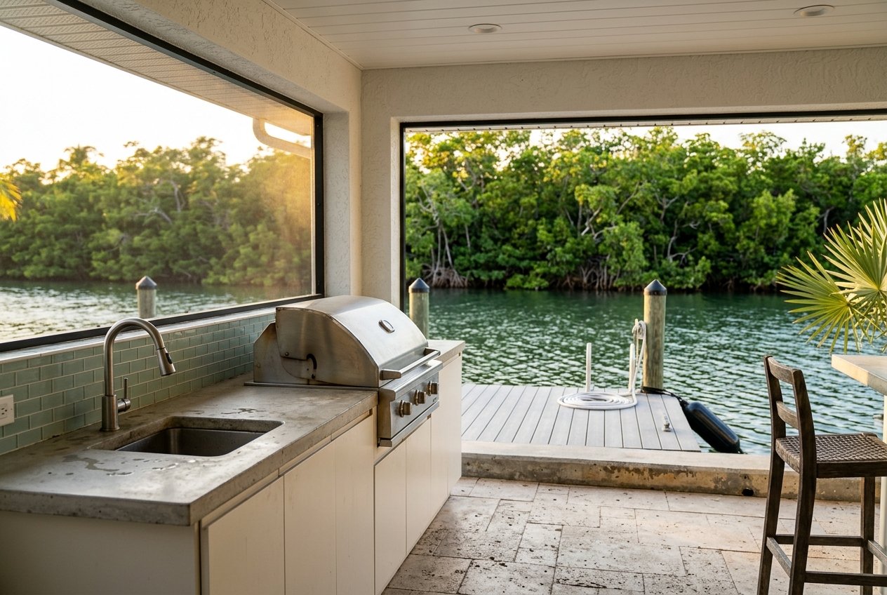
Head into the backcountry for a different feel entirely. You will see mangrove islands, wide flats, and calm channels suited to sight-fishing, wildlife viewing, and relaxed exploring. Many islands fall within national wildlife refuges that carry specific rules, so review refuge guidance in advance at the Great White Heron and Key West refuges page. Quiet operation and careful stewardship are the norm here.
Canals and inner channels
Kemp Channel, Cudjoe Channel, nearby sounds, and the local canals are tidal and can be shallow in places. These routes are ideal for short family outings and quick access to small keys. Use updated charts and local aids to navigation. When in doubt, slow down, favor marked water, and time your passages with a positive tide.
Rules that protect this place
The Florida Keys National Marine Sanctuary and the local refuges set clear standards that keep these waters healthy.
- Sanctuary Preservation Areas: Many high-use reef sites are within SPAs where mooring buoys are provided and fishing or removing marine life is prohibited. Anchoring on coral is not allowed. Review current guidance at the Sanctuary Preservation Areas rules.
- Backcountry refuge rules: The Great White Heron and Key West National Wildlife Refuges include zones with landing limits and craft restrictions. Personal watercraft are not allowed in many areas. Always confirm site-specific rules before a visit using the refuge overview.
- No-discharge expectations: The sanctuary enforces no-discharge rules, and NOAA has proposed tightening exceptions. Plan for proper sanitation and pumpouts. See the NOAA update on no-discharge rules.
- Shallow-water care: Seagrass flats and unmarked shoals are common. Avoid prop scarring by staying in marked water, trimming up in skinny zones, and planning your runs around tide.
Your simple planning checklist
- Verify your launch plan: check current ramp status and trailer parking limits before you roll.
- If launching at Cudjoe Gardens, plan for limited trailer parking and ramp fees. Confirm details with the Cudjoe Gardens Marina listing.
- Carry official charts and know your route options. Start with the NOAA nautical charts for the Keys.
- Check tides and currents for your area and timing. Use the NOAA Tides & Currents Key West datums as a reference.
- Use mooring buoys at reef sites and respect SPA boundaries.
- Watch for crab pot floats and shallow banks, especially on longer runs.
- Plan fuel conservatively for offshore or remote trips like the Marquesas.
- New to the routes? Local outfitters such as Cudjoe Key Boat Rentals can share tide windows, route tips, and preprogram chartplotters for visiting boaters.
Helpful maps and tide tools
- FWC Boating & Angling Guide for the Lower Keys: Handy, recreation-focused maps, ramp info, and quick references.
- NOAA nautical charts for the Keys: Official paper and ENC charts for planning and safe navigation.
- NOAA Tides & Currents Key West datums: Datum references and links to tide predictions for nearby stations.
How this ties to your home search
If you plan to trailer, confirm how you will stage your rig and where you will launch on busy weekends. Ramp availability, trailer parking limits, and seasonal closures can shape your routine. If you will keep a boat on a lift or at a slip, Cudjoe Gardens offers fuel and basic services, while long-term slip availability and costs vary by season and demand. Your ideal home will match how you actually boat: mornings on the flats, reef days, or longer outside runs.
You do not have to figure this out alone. As a Keys local focused on waterfront living, I help you link property features to your water life, from canal depth and flow to practical run times to your favorite spots. If you are weighing Cudjoe Key against nearby islands, let’s map it to your routine and make a confident move. Ready to start? Connect with Jill Whitlatch to align your search with real, everyday water access.
FAQs
What is the main place to launch a boat on Cudjoe Key?
- Cudjoe Gardens Marina at 477 Drost Dr is the most-used full-service option, with a deep ramp, fuel, and services. Trailer parking is limited and fees apply, so plan ahead.
Is the Blimp Road public ramp open right now?
- Monroe County announced a temporary closure starting February 5, 2026 for about four months for staging and mitigation. Check the county site for the latest status before you go.
How long does it take to reach Looe Key from Cudjoe Gardens?
- The straight-line distance is about 9.1 nautical miles. At 20–30 knots, many boats cover that in roughly 18–30 minutes one way, depending on sea state and route.
Are there special rules at reef sites like Looe Key?
- Yes. Sanctuary Preservation Areas use mooring buoys and prohibit anchoring on coral and taking marine life within their boundaries. Always use buoys when available and follow posted rules.
What should I know about boating the backcountry near Cudjoe?
- Backcountry zones include national wildlife refuges with craft and landing restrictions. Expect shallow, tide-dependent water; slow speeds and careful route planning are standard.
Where can I find maps and tide info for the Lower Keys?
- Use the FWC Boating & Angling Guide for recreation-focused maps, NOAA nautical charts for official navigation, and NOAA Tides & Currents for tide predictions and datums.