If you’re buying in Marathon as a boater, the biggest question usually is not whether you want waterfront. It’s which boating corridor fits your boat, your routine, and the way you actually use the water. That can feel tricky when one canal looks great online, but real-life access, bridge clearance, and daily convenience tell a different story. In this guide, you’ll learn how Marathon’s main waterfront areas compare so you can narrow your search with more confidence. Let’s dive in.
Why boating access matters first
Marathon stretches from about MM 47 to MM 60 and is widely shaped by life on the water. The City of Marathon describes it as a boating and fishing community with access to both Atlantic-side and Florida Bay or Gulf-side waters.
For many buyers, that means your first real decision is about access pattern, not just property style. In Marathon, the main boating choices often center around Boot Key Harbor and Sister Creek, Vaca Cut and the Coco Plum or Bonefish Bay area, or the Seven Mile Bridge and Moser Channel corridor.
Match your boat to the corridor
A waterfront home can look perfect on paper, but still be a poor fit if the route out feels tight, shallow, or inconvenient. In Marathon, the best neighborhood for you often depends on how often you run offshore, whether you want shelter at the dock, and what your boat needs at low water.
The city notes that deep-water fishing and most diving are concentrated on the Atlantic side. It also says bay-side residents commonly use Moser Channel, Vaca Cut, and Tom’s Harbor Channel to reach the ocean, while many dredged canals and basins provide shelter from current, wind, and waves.
Boot Key Harbor benefits
Boot Key Harbor and central Key Vaca are often the strongest match if you want protected harbor living and easy daily boating support. This area stands out less for the fastest offshore run and more for convenience, shelter, and boating infrastructure.
The city says Boot Key Harbor sits fully within Marathon city limits and has two Atlantic inlets, a 226-ball mooring field, and a large anchorage south of the main channel. On the city marina page, the west entrance is listed as the main entrance, and the harbor channel is charted at 6 feet MLW.
County planning materials are slightly more generous and cite a 7-foot minimum depth, while also noting the channel becomes shallower east of 20th Street. The practical takeaway is simple: Boot Key Harbor is a strong boating hub, but specific parcel access still needs to be verified.
Why buyers like Boot Key Harbor
This part of Marathon tends to work well for buyers who want boating to feel simple day to day. The city describes the marina district as a cruiser’s paradise with nearby marine retailers, boatyards, groceries, restaurants, a library, and a hospital.
That kind of service concentration matters if you use your boat often or plan longer stays. It can make fueling, repairs, provisioning, and general waterfront living much easier.
Best fit for this area
Boot Key Harbor often appeals most to:
- Cruisers
- Liveaboard-minded boaters
- Buyers who prioritize protected water
- Owners who want nearby marine services
- Buyers who value convenience over the quickest offshore run
The city’s marina siting plan says Boot Key Harbor is one of the only truly protected anchorages in the middle and lower Keys. That helps explain why this area is often a top pick for buyers who want shelter and support built into daily life.
Coco Plum and Vaca Cut access
If your priority is getting out toward Atlantic fishing or diving routes more efficiently, east Marathon often moves to the top of the list. Areas around Coco Plum, Bonefish Bay, Shelter Bay, and nearby canal systems are closely tied to Vaca Cut and surrounding channels.
The city’s marina siting plan says canals and deep waterways are available from Shelter Bay, Bonefish Bay, and Coco Plum Beach through Vaca Cut and the channels east and west of Fat Deer Key. This makes the area especially relevant for buyers who care about ocean-oriented access.
Why this side attracts boaters
This corridor is usually a better fit for buyers who want quicker Atlantic access and spend more time focused on fishing grounds than on protected harbor living. If your ideal day starts with getting lines in fast, this part of Marathon may feel more natural.
At the same time, access here is not one-size-fits-all. The city plan flags the Cocoplum Beach flats and the Cocoplum entrance as problem areas, so it is especially important to stay in marked channels and confirm exact depths before buying for a larger boat.
Bonefish Bay at a glance
Bonefish Bay can be especially useful if you want a sheltered basin with nearby marine support. The city’s anchorage page says the entrance has a controlling depth of 6 feet, but it also warns of shoaling and winding channels at the entrance.
That means this area can work very well, but it rewards buyers who pay attention to the exact route. The same city page notes nearby seafood, outboard repair, a boat yard, and a convenience store, which gives you a clear picture of the area’s practical boating character.
Seven Mile Bridge routing
On the west end of Marathon, the boating story is often about efficiency and bridge-adjacent movement. If you want a direct route under the bridge and easy crossover options, this corridor deserves a close look.
Monroe County planning materials say Moser Channel runs between the Florida Straits and Florida Bay and serves as a junction where boaters can continue on the Gulf-side route or cross under the Seven Mile Bridge toward Hawk Channel. For boaters who move between sides regularly, that can be a major advantage.
Key channel details to know
The county lists:
- Moser Channel at 5 feet minimum depth
- Moser Channel at 65 feet vertical clearance
- Knight Key Channel at 8 feet minimum depth
- Knight Key Channel at 19 feet vertical clearance
This area is often a strong match for anglers and boaters who care most about direct routing. Compared with Boot Key Harbor, it is usually less about protected marina life and more about getting where you want to go with fewer extra steps.
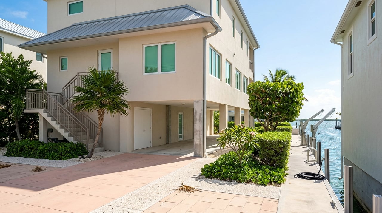
Canal depth and dockage realities
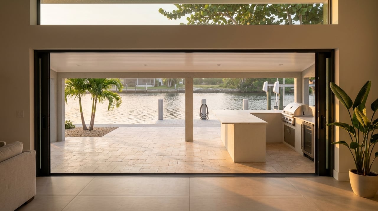
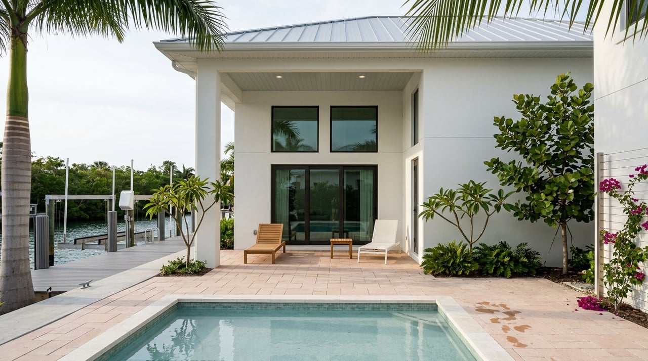
One of the most important truths in Marathon is that not every waterfront lot is equal. Two homes may both be canal-front, but the boating experience can be very different depending on depth, width, route quality, and low-tide usability.
The city’s marina plan sets a policy floor for docking at minus 4 feet MLW at the terminal end, with continuous access to open water over at least a 20-foot-wide channel or by a marked state or federal navigation channel. For mooring fields, the standard is minus 6 feet MLW.
That does not mean every property will feel equally comfortable for your boat. It does mean that reliable access and usable depth are core issues you should evaluate before you commit.
A practical boat-size guide
Based on the city and county information, here is a simple way to think about fit:
- Smaller trailer boats and shallow-draft center consoles can work in more marginal channels if you are comfortable checking tides and launch conditions.
- Mid-size boats often fit best in Boot Key Harbor, Vaca Cut-adjacent areas, and other marked canal systems with cleaner access.
- Larger or taller-profile boats need extra attention on both depth and bridge clearance.
For example, county materials list Vaca Cut at 13 feet of vertical clearance, while Moser Channel offers much more overhead room. If your boat has height concerns, that one detail alone can narrow your search fast.
Services and daily convenience
Your boating lifestyle is not just about the run out. It is also about fuel, repairs, storage, ramps, and how easy ownership feels during a normal week.
The city highlights that marine retailers and boatyards are concentrated in the same central boating corridors many buyers already prefer. Its marina inventory also identifies fuel-capable facilities in Marathon, and a city resolution references continued marina operations with fuel sales and storage on Coco Plum Drive near MM 54.
Public ramps matter too
If you are a trailer-boater, a canal-front purchase may not be your only path. Marathon currently lists public ramps at:
- 33rd Street Gulf at MM 49
- The Quay at MM 54
- Harbor Drive behind the airport
The city says these ramps are open 24/7, though overnight parking is not allowed. For some buyers, that opens up more flexibility and may change what kind of property makes sense.
Floodplain and ownership planning
When you buy waterfront in Marathon, boating fit is only part of the equation. Ownership costs and property setup matter too.
The city says all of Marathon is in a coastal floodplain, and the many canals make nearby properties prone to flooding. It also says flood insurance is required because homeowners insurance does not cover flood damage.
For some buyers, this affects budget planning as much as dockage does. It is smart to weigh canal access, construction features, and carrying costs together instead of looking at the dock alone.
The city’s anchorage page also states that the entire Florida Keys are a No Discharge Zone. That is particularly important for liveaboard and long-dockage buyers who want to understand day-to-day operating rules before they purchase.
How to choose the right area
If you want the shortest version, Marathon tends to break down like this:
- Boot Key Harbor for protected harbor living, cruiser convenience, and nearby services
- Coco Plum, Bonefish Bay, and Shelter Bay for ocean-oriented canal living and Vaca Cut access
- Knights Key and Seven Mile Bridge area for direct routing and bridge-adjacent efficiency
The best value usually comes from matching the home to how you actually boat. Usable depth, protected water, fuel and service access, and the ease of your run to open water often matter more than a listing’s waterfront label.
If you are sorting through Marathon options, a local eye can help you focus on the canals, corridors, and dockage details that fit your real routine. When you’re ready to talk through waterfront neighborhoods in Marathon or anywhere in the Keys, connect with Jill Whitlatch.
FAQs
What is the best Marathon waterfront area for protected boating access?
- Boot Key Harbor is often the top choice for protected harbor living because the city identifies it as a highly sheltered boating hub with strong nearby services and amenities.
Which Marathon neighborhoods are better for faster Atlantic access?
- Coco Plum, Bonefish Bay, Shelter Bay, and nearby Vaca Cut-adjacent areas are generally better suited for buyers who want quicker ocean-oriented access.
What should boat owners check before buying a waterfront home in Marathon?
- You should confirm canal depth, route width, marked-channel access, bridge clearance, low-tide usability, and proximity to fuel or marine services for the specific property.
Is every canal-front home in Marathon equally usable for boating?
- No. The city’s planning materials make clear that canal-front access varies, and some areas have shoaling, shallower approaches, or route limitations that can affect day-to-day use.
Are there public boat ramps in Marathon for trailer boaters?
- Yes. The city lists public ramps at 33rd Street Gulf, The Quay, and Harbor Drive, and notes they are open 24/7 with no overnight parking allowed.
What waterfront ownership cost issue should Marathon buyers plan for?
- Flood insurance is a major planning item because the city says all of Marathon is in a coastal floodplain and homeowners insurance does not cover flood damage.